|
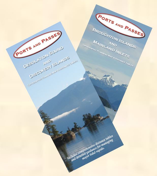
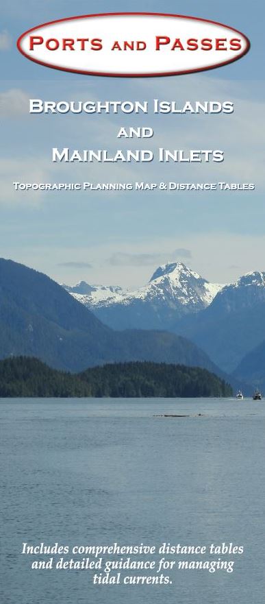
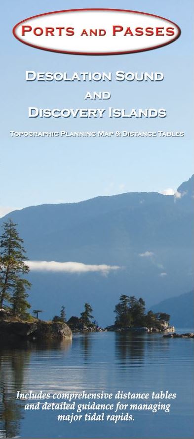
These
two maps were developed by Kevin Monahan as planning maps for two of the most
popular and scenic cruising destinations on the West Coast. The maps are
24" x 36" (61 cm x 91.5 cm) show topography, place names, navigation
features and waterways in full colour. they are printed on durable waterproof
paper and are available either rolled, or folded to 4" x 9" (10 cm x
23 cm)
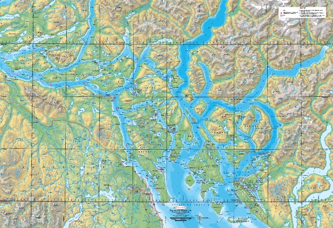
But
it is the back of these maps that makes them "More than a map!!" The
reverse contains tables of distances between more than 80 locations on the map
and distances to major ports. The locations in the tables are shown on the map
side for easy reference. The reverse also contains detail maps of the central
cruising area, and expert local knowledge regarding tides currents and weather
in the area.
These
maps will be a useful tool for planning your trips, or they can be mounted for
display. The paper is waterproof, highly durable and tear resistant.
|